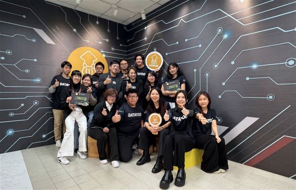
2026-8-28
(Courtesy of Taiwan Panorama August 2026)
Joanna Wang /photo by Kent Chuang
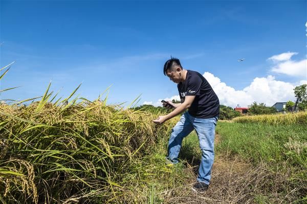
Hundreds of kilometers above Earth, satellites orbit continuously, collecting information about the land that the human eye cannot see. To most people, satellite images are simply distant views of the Earth’s surface. To Shaw Wu, founder of DataYoo, they are key to deciphering the planet.
Using proprietary full-spectrum AI reconstruction algorithms (Spectral Pattern Reconstruction Intelligence, SPRI), Wu turns complex satellite data into decision-making tools that people can understand and use on their phones or computers. The company’s services now reach users across 32 countries worldwide, and this year, Wu individually received a Presidential Innovation Award in the Youth Category.
A data scientist’s awakening in the fields
A data scientist by training, Wu previously worked at Taiwan’s Institute for Information Industry on data projects for environmental protection, law enforcement, and other fields. In 2017, he launched his first startup, applying data analysis to online marketing. Although his firm’s technology was ahead of its time, the market was not yet ready and the venture came to an end.
Rather than retreat, Wu headed into the fields. He wanted to address a longstanding problem in agriculture: the lack of systematic data and the industry’s heavy reliance on experience. He visited farms across Taiwan and even tried farming himself. Although the vegetables he planted all “bit the dust,” those setbacks gave him a clearer understanding of what farmers actually needed.
In its early years, DataYoo experimented with field sensors and weather stations. But for overseas clients often managing 10,000 hectares or more, the costs made large-scale adoption of such hardware impractical.
In 2021, Wu joined a US space accelerator program, initially aiming to develop a chip for growing crops beyond Earth. There, he found that the space industry’s main focus was not colonizing other planets but using low-Earth-orbit satellites to observe Earth. When the number of satellites worldwide surged in 2023, he believed the time was right to pursue a “hardware-free” business model, using AI to interpret satellite spectral data.
Translating spectral data from space
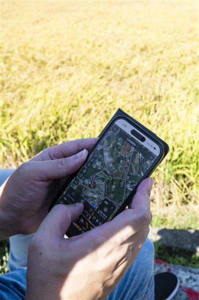
FarmiSpace, DataYoo’s crop and soil monitoring platform, can virtually penetrate the topsoil, using AI to infer information invisible at the surface. It can detect early growth signals (even weak ones) from seedlings, estimate soil moisture at depths of up to 30 centimeters, and flag nutrient deficiencies and early signs of disease. Farmers can monitor crop growing conditions with a few simple steps on their phones or computers. When used for crop identification, the system has reported accuracy rates of 96–98.8%.
In South America, the system can detect signs of banana Fusarium wilt (Panama disease) up to three months before they become visible to the naked eye. Across Mexico, Central America, and the Caribbean, the DataYoo team is helping the governments of OIRSA’s nine member countries conduct cross-border surveillance for crop diseases.
However, the technology’s applications extend far beyond agriculture. In North America and France, soil-moisture patterns are used to predict wildfire risk. During a landslide barrier lake emergency in Taiwan, it rapidly modeled the extent and depth of potential flooding for reference in the government’s response.
The company plans to extend the technology to such fields as assessing the potential for deposits of rare earths and other minerals, quantifying soil carbon storage, and evaluating risk in agricultural lending. The possibilities are vast.
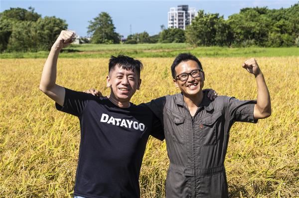
Bringing data to Taiwan’s rice fields
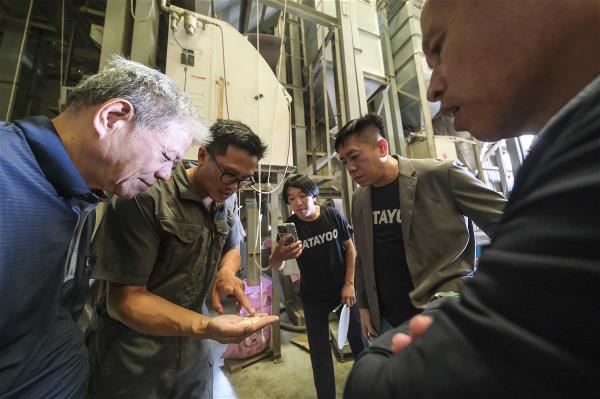
This satellite technology has already found a place in Taiwan’s domestic market. One important demonstration site is DuaHo Rice Farm in Taoyuan, a family business that was inherited by Chen Shi-xian, a young farmer with a background in food science. In 2025, Chen’s fragrant Taoyuan No. 3 rice won a Gold Award at Japan’s 27th International Contest on Rice Taste Evaluation, making him one of only a small number of Taiwanese farmers to receive the honor. To him, however, awards matter less than maintaining high quality and consistent output.
Chen manages more than 20 hectares of paddies. In the past, he relied on manual field inspections and found it difficult to monitor every plot. With FarmiSpace, he can check conditions across his fields even while abroad, coordinate irrigation and fertilizer application in real time, and receive warnings of rice blast. He has also integrated the AI data with a smart rice transplanter that applies fertilizer, distributing nutrients more evenly across the paddies and producing more uniform ripening. This helps reduce the risks posed by extreme weather.
Putting data to work
Innovation is not about showcasing technology, it is about solving users’ problems. DataYoo recently introduced FarmiSage, a conversational feature that lets farmers get answers without having to interpret charts. For example, they can simply ask, “Should I water this field?” and receive a direct answer. This turns satellite information once used only for scientific research into a practical tool on a phone or computer. Sophisticated space technology, in other words, can respond directly to the needs of the land.
This space-data revolution, launched from Taiwan, is doing more than unlocking the productive potential of farmland. It is also opening up limitless possibilities for Taiwan to connect with the world through its AI strengths. Wu’s persistence with data, coupled with his dedication to understanding people’s living situations, has helped DataYoo forge a distinctive path that separates it from other firms.